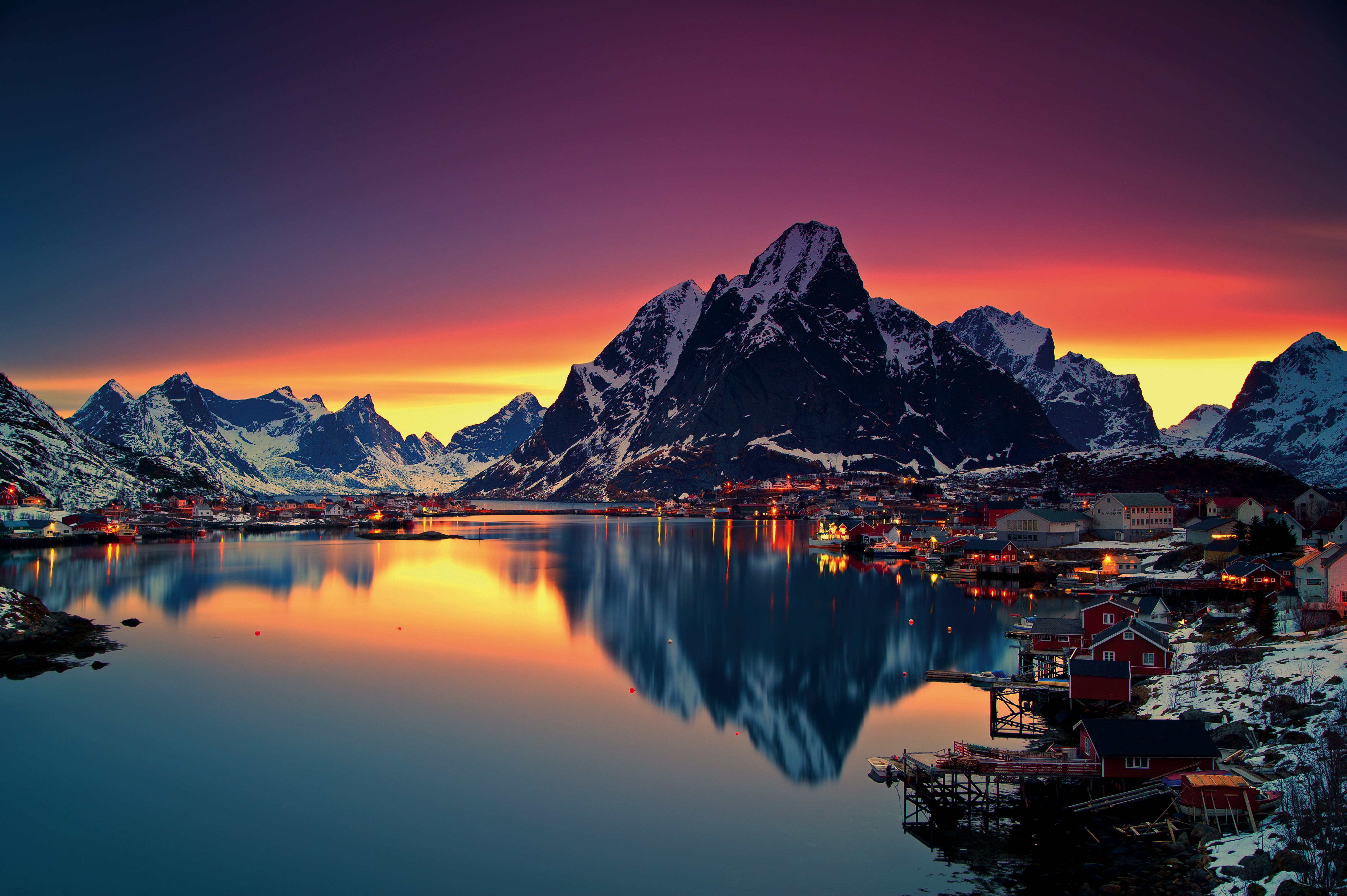
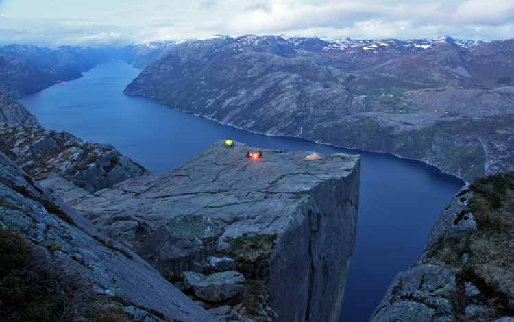
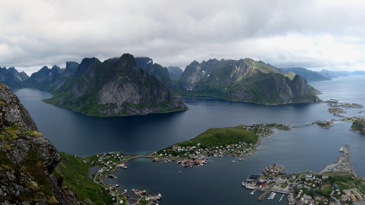
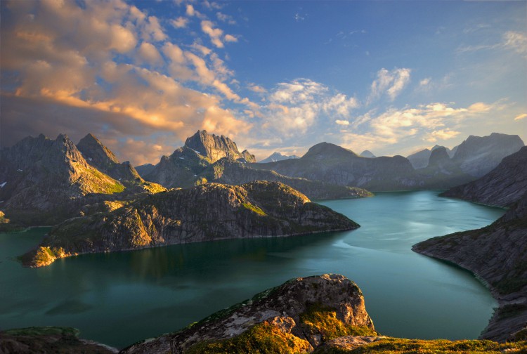
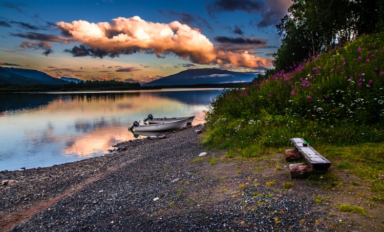
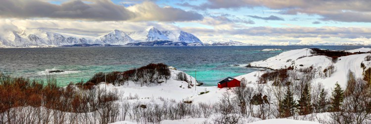
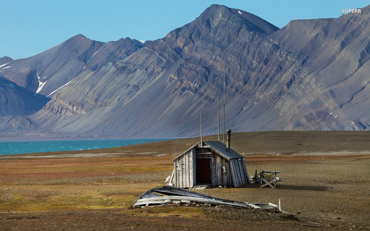
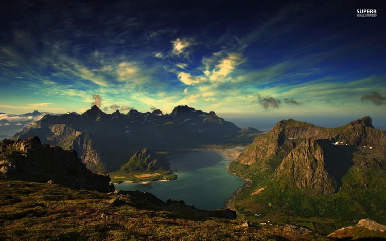
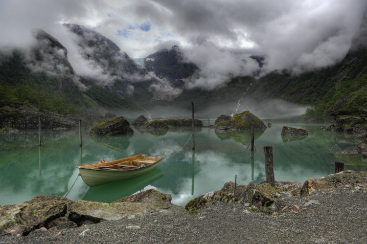
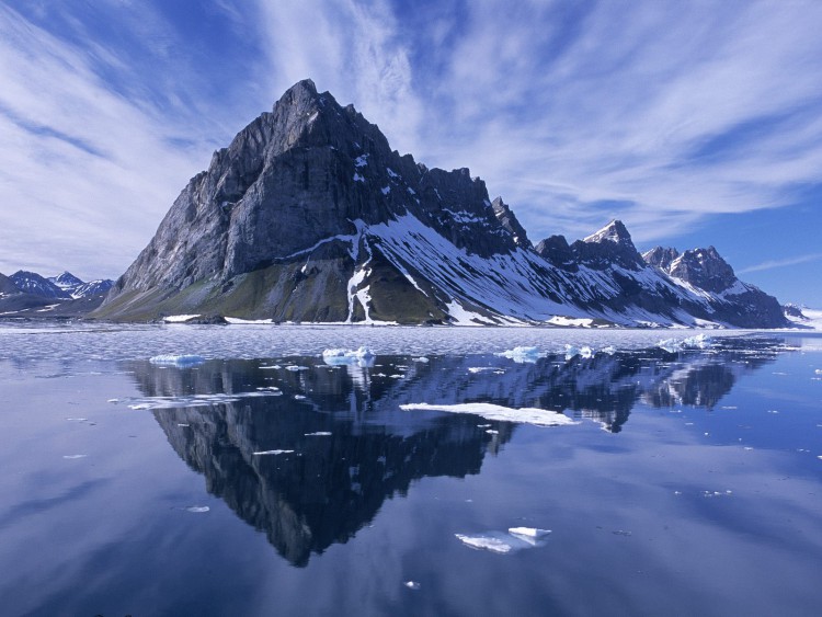
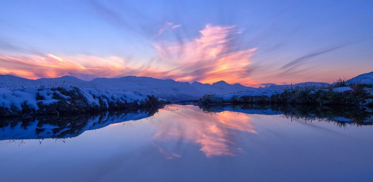
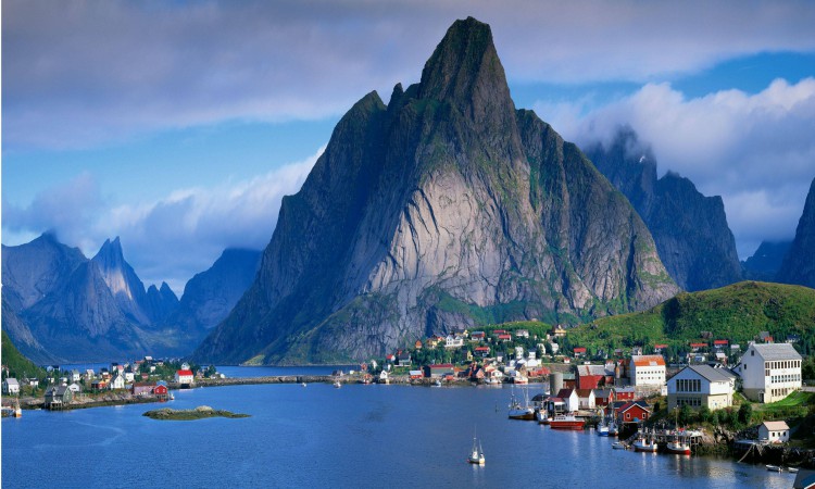
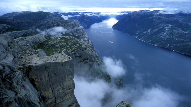
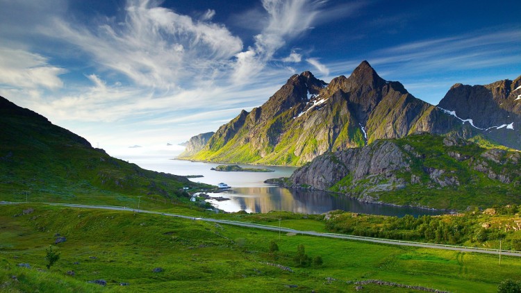
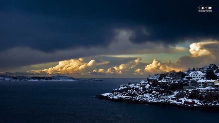
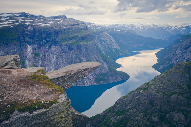
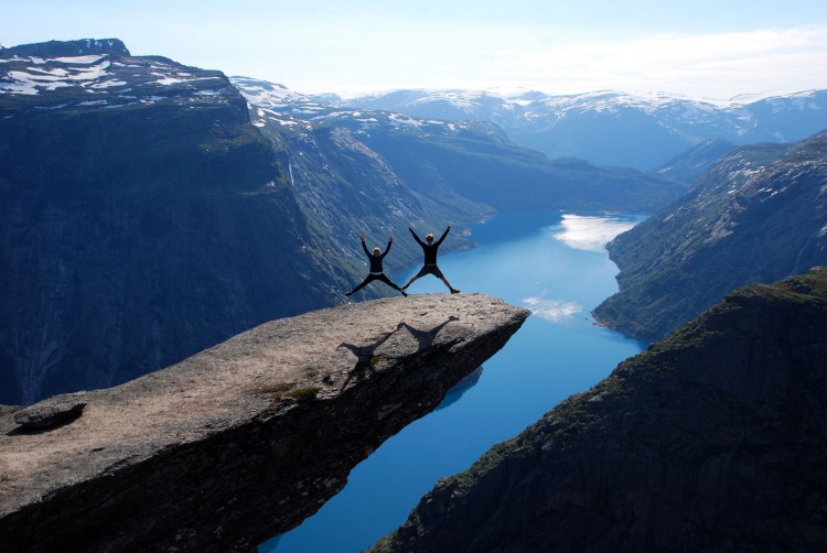
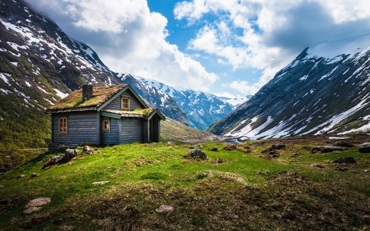
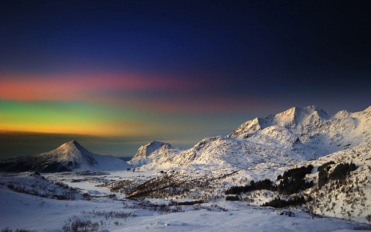
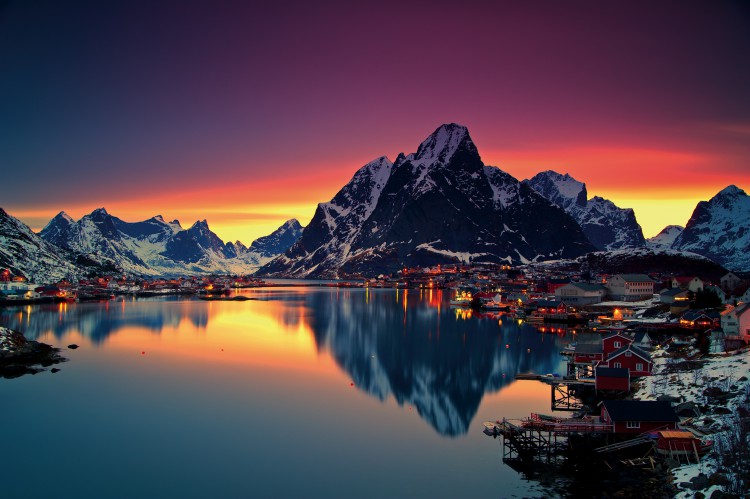
The Scandinavian Peninsula is characterized by its mountainous terrain. In the east, on the territory belonging to Sweden, these mountains are more gentle. In the west, in Norway, steep slopes descend sharply to the Atlantic Ocean. In the southern part of the Scandinavian Peninsula, also on Norwegian territory, there are both steep and gentle slopes, between which there is a zone of vast highlands.
Norway – a country of mountains
There is a theory that glaciation came to Europe from Scandinavia. As studies show, the territory of modern Norway was covered by glaciers more often than others, which contributed to the appearance of fjords, which are considered today the main natural attractions of the country.
The highest peak in Norway is Galdhøppigen, at 2469 m. It is slightly inferior to Glittertinn, which is 2452 m high.
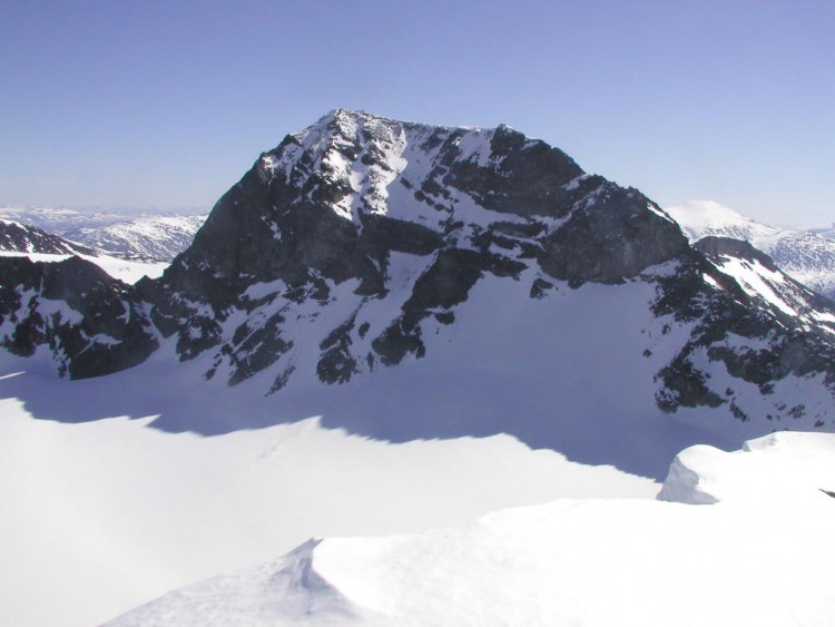
There are several mountain regions in Norway. Some of them boast rich vegetation, while others show bare rocks. But in each region there are many opportunities for organizing recreation and active pastime.
The mountain regions of Norway include Jotunheimen, Hardangervidda, Dovrefjell, Finnmarksvidda, Lyngsalpene, Sunnmøre Alps, Rondane.
Jotunheimen
The Jotunheimen region has the largest number of mountains above 2,000 m in Northern Europe. It is here that Mount Galdhøppigen, Norway’s highest peak, is located. The nature of the Jotunheimen region is picturesque: there are many rivers, lakes, waterfalls, glaciers and flowering valleys.
Jotunheimen, which is one of the national parks, offers excellent opportunities for alpine and cross-country skiing. Here you can go cycling, horse riding, mountaineering, caving, canoeing and glacier climbing.
Jotunheimen is considered one of the most picturesque places in Europe, so there are hiking routes here. The most popular of them runs along the Besseggen ridge and allows tourists to admire the unique beauty of two lakes: Gjende, located to the south of the ridge at an altitude of 984 m above sea level, and Bessvatne, located to the north of the ridge at an altitude of 1373 m.
Hardangervidda
Hardangervidda is a plateau with mountains in the western and northwestern parts, including the Hardangerjøkulen glacier, one of Norway’s largest. In the center of the plateau is the cap-shaped Horteigen, 1,690 m high.
The Hardangervidda region offers hiking, trekking, skiing and cycling routes. The 80-kilometer Rallarvegen, the most popular cycling route in Norway, runs through the area.
Hardangervidda is known as the home of Northern Europe’s largest reindeer population, and as a region where anglers flock to fish in the many mountain lakes, streams and branches of the Sørfjord.
Dovrefjell
The Dovrefjell region, located on the border of Southern and Central Norway, includes the Dovrefjell-Sundalsfjella and Dovre National Parks. There are hiking, cycling and skiing routes here, the most popular of which is the Pilgrim’s Road between Oslo and Trondheim. Dovrefjell offers excellent opportunities for rock climbing, snowkiting, canoeing and fishing. However, the difficult weather conditions typical of these places and the long distances between settlements can only be handled by experienced tourists.
Dovrefjell is the only place in the world where the musk ox, also called the musk ox, lives. Those who wish can go on a safari to see these animals in their natural habitat.
Finnmarksvidda
The Finnmarksvidda plateau, surrounded by greenery and flowers, is one of the largest in Norway and is known as the home of the Sami, the country’s indigenous people. It is home to the Øvre Anårjohka and Stabbursdalen national parks, which is considered the world’s northernmost pine forest.
The Finnmarksvidda plateau is ideal for active recreation in the bosom of nature. In the summer, people go hiking, and in the winter, they go skiing and snowmobiling. The world’s northernmost dog sled race, called Finnmarksløpe, is held here every year.
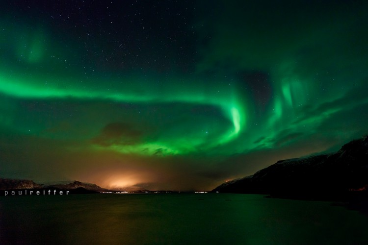
In clear weather in the autumn and winter, you can admire the northern lights from the Finnmarksvidda plateau.
Lyngsalpene
Lyngsalpene, a mountain range located on a peninsula, is located 300 km north of the Arctic Circle. The unique appearance of these places is created by peaks growing out of the fjord and reaching into the sky at a height of over 1000 m, glaciers, gorges, rivers and lakes.
It is cold here compared to the more southern regions of the country. Extreme skiers and experienced climbers feel confident on the mountain slopes. But the few gentle hills provide conditions for hiking, horse riding, skiing and dog sledding. Particularly popular is climbing Mount Storgalten, which rises above sea level at 1219 m. There are many fish in the fjords, rivers and lakes, so you can enjoy a good catch here.
In Lyngsalpen, located beyond the Arctic Circle, you can see such rare natural phenomena as the midnight sun and the northern lights.
Sunnmøre Alps
Sunnmørsalpene, as the Norwegians call the Sunnmøre Alps, rise above the fjords at 2,000 m. They are known to all freeride enthusiasts. Off-piste skiing is possible here even in June.
The Sunnmøre Alps also have gentle slopes suitable for hiking, horse riding, cross-country skiing and dog sledding. The most popular hiking route is the ascent to the top of Mount Slogen, which rises to 1,564 m above sea level. The fjords, rivers and lakes are full of fish, so fishermen are guaranteed a good catch.
Rondane
Rondane is Norway’s oldest national park. It has peaks over 2,000 m. The area has retained a sense of wilderness, but is still great for walking.
Today, Rondane is known as the home of Europe’s last herd of wild reindeer.
The most popular hiking trail in Rondane is the Trolls’ Path. This 170 km long ski trail is marked from February to Easter and stretches from Rondane to Lillehammer. The Trolls’ Path offers a glimpse of the pristine Norwegian nature.
Source: travelworld.biz
