
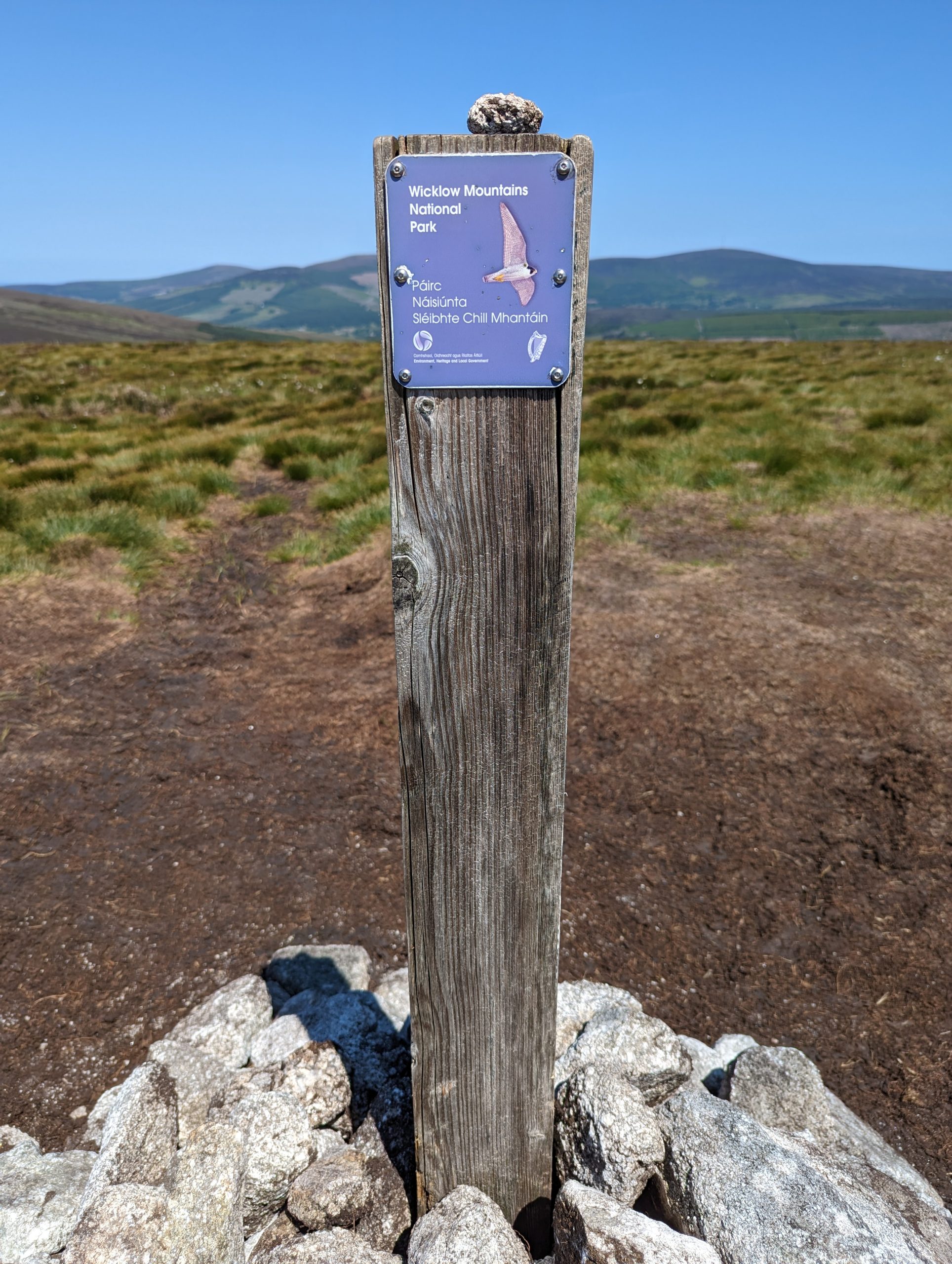
Black Hill and Mullaghcleevaun are mountains in County Wicklow, Ireland. They are located in the southern part of the country, in the eastern part of the Wicklow Mountains.
")
")
The total length of the route, if from the car park “Sam Mullaghcleevaun” and back – about 20 km.
How to get there from Dublin:
- From Dublin (from Connolly station) walk 1 km to Poolbeg St, stop 7564 (located in a back street):
- Take bus 65 to Blessington (it took about an hour)
- Then walk along the road for 8 km to Mullaghcleevaun itself (parking before the start of the climb to Black Hill):
https://goo.gl/maps/3gJHTiqraWHeeFEE6
- After Sam Mullaghcleevaun, walk about 500 meters to the first low mountain Black Hill, then the path goes left to Mount Mullaghcleevaun (visually the path is visible to the very top):
https://goo.gl/maps/Y3TmqS6QfLeAbSF1A
")
The main problem when approaching the start of the route is a rather dangerous road for 7-8 km. It is narrow, like all roads in Ireland, the traffic is two-way and quite dense, and there is no shoulder for pedestrians, to say the least. Therefore, I recommend taking a taxi from the city of Blessington to the parking lot “Sam Mullaghcleevaun” (the start of the route to both mountains) if you do not have your own car.
But there is another problem, on the way back from Sam Mullaghcleevaun it is simply unrealistic to call a taxi to the highlands, i.e. either walk 8 km along an inconvenient road again and suffer, or “hitchhike” some tourists returning from the mountain, and there are a lot of them, believe me!


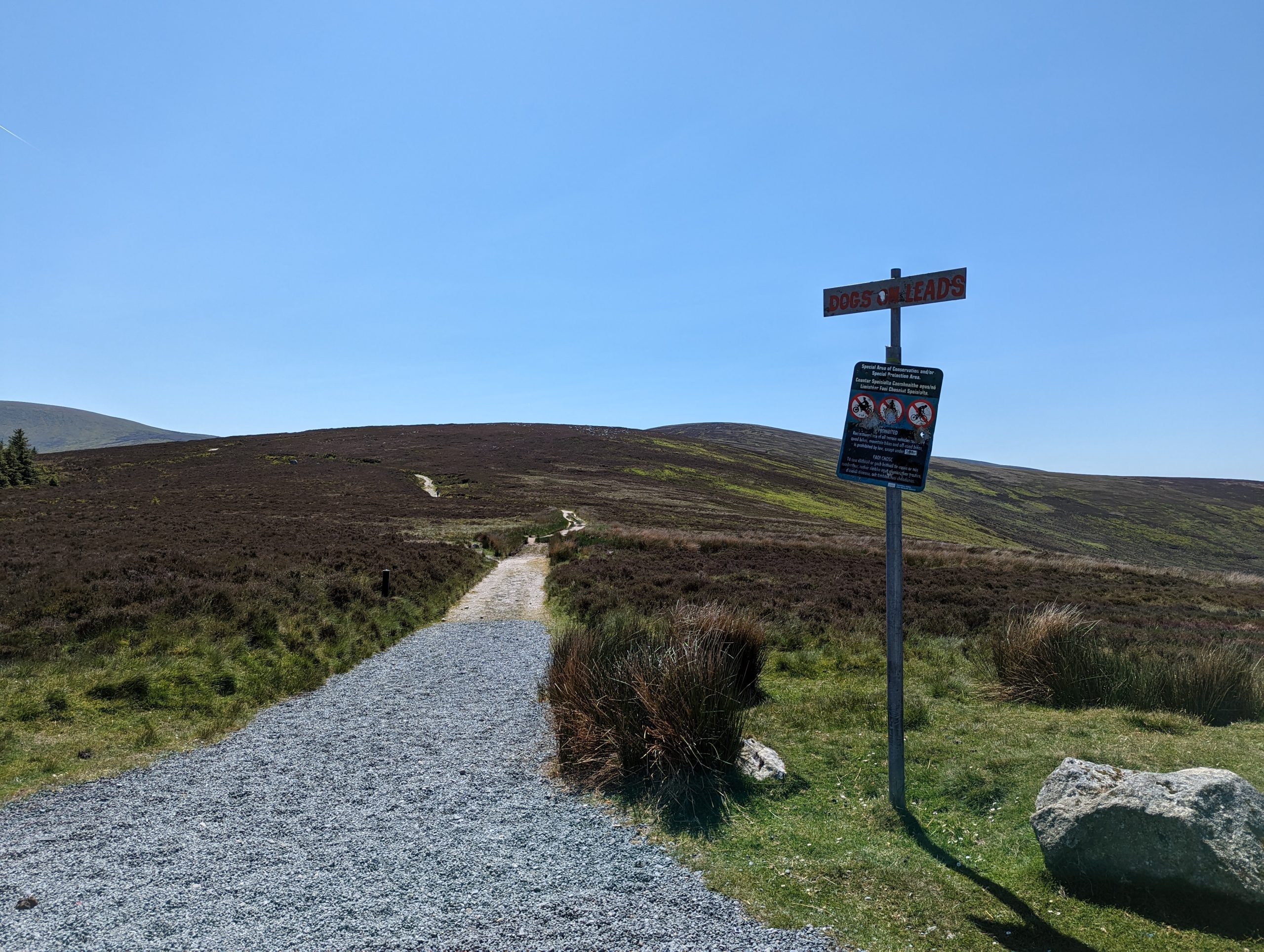
So, the beginning of the route and the route itself.
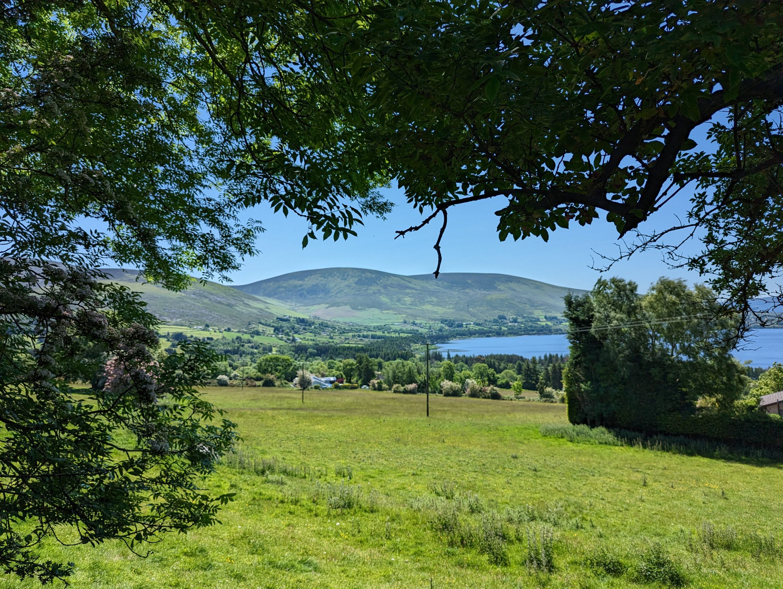
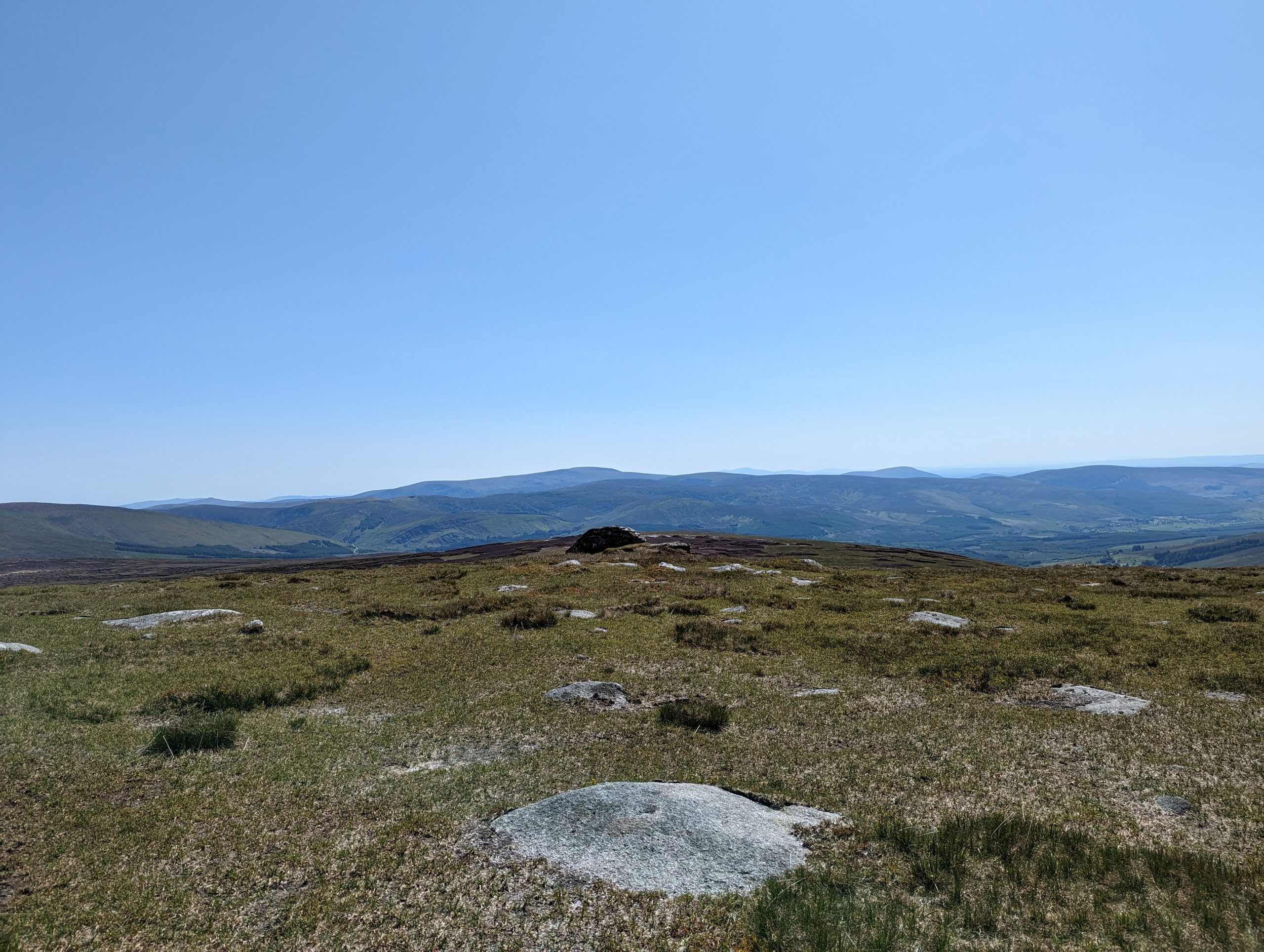
Having climbed the first low mountain Black Hill (582 m), you can admire the views around, have a snack and turn back down, if you are limited in time or have small children, for whom long hikes will still be difficult.
But if you are a hard-working tourist, then you should take the path that goes to the left from the top of Black Hill to the second peak Mullaghcleevaun (849 m).
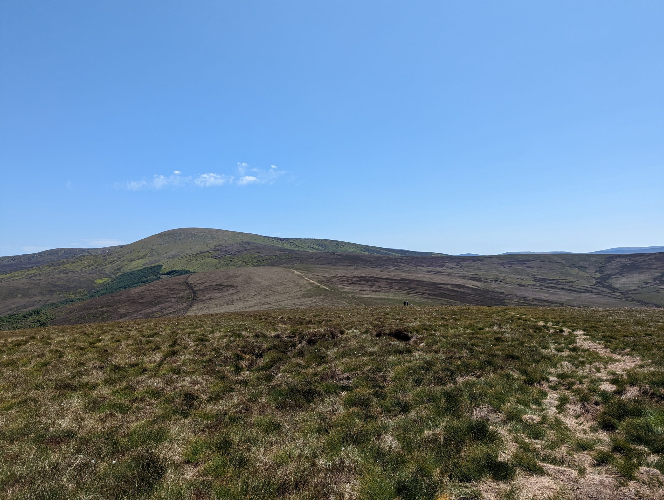
The path will be long, but straight and on level ground. And only before the very top there will be a slightly steep climb of 100-150 meters.
There will be one unpleasant section of the route along huge gullies in the ground, it looks like a labyrinth, sometimes as tall as a human. And it is advisable to have time to pass this piece (about 100 meters) before dark on the descent from the mountain, otherwise you can get lost and stray from the main path and then either the navigator will still lead you where you need to go, or spend the night in the mountain meadows 😉
This is what these gullies in the ground look like:


At the foot of the Mullaghcleevaun mountain itself, a slightly steep path up begins, for this section of 150 meters I would recommend taking trekking poles, if someone has bad knees or just finds it difficult to walk uphill.
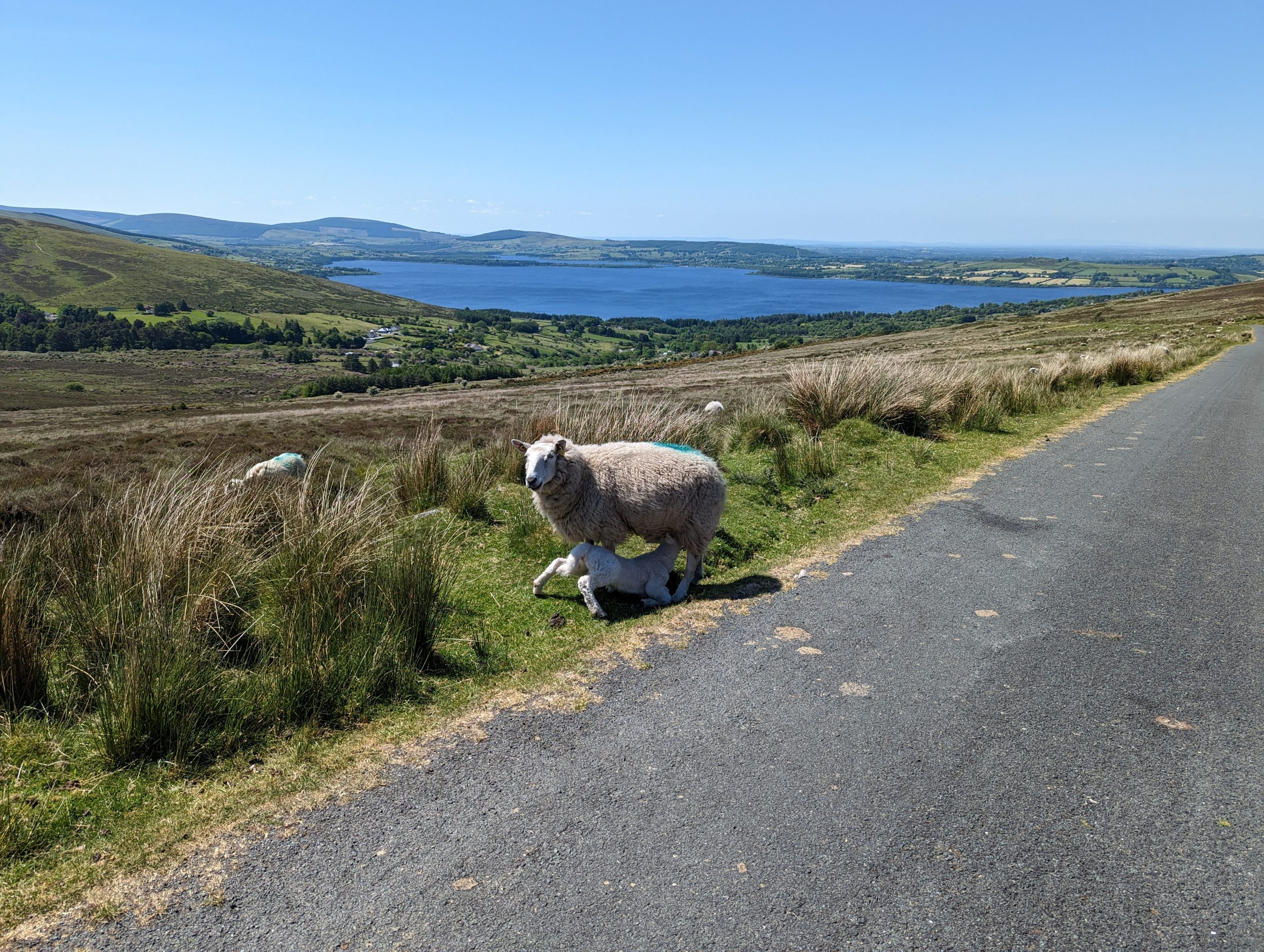
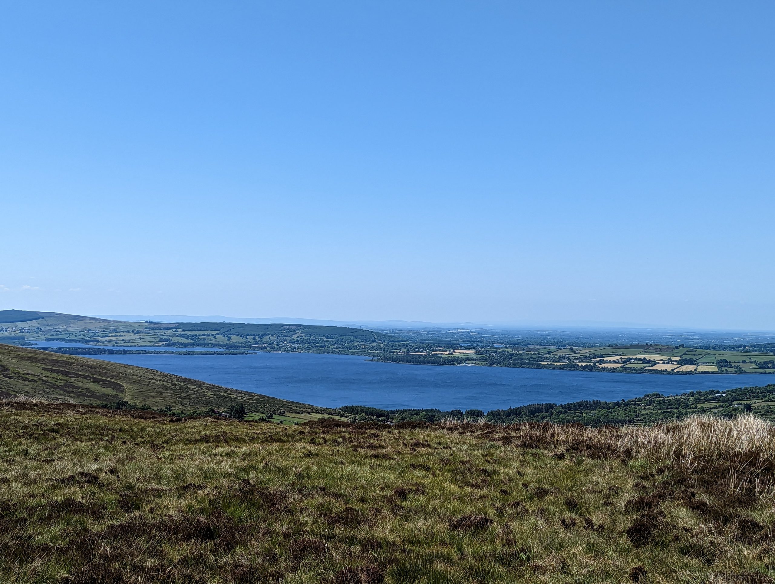
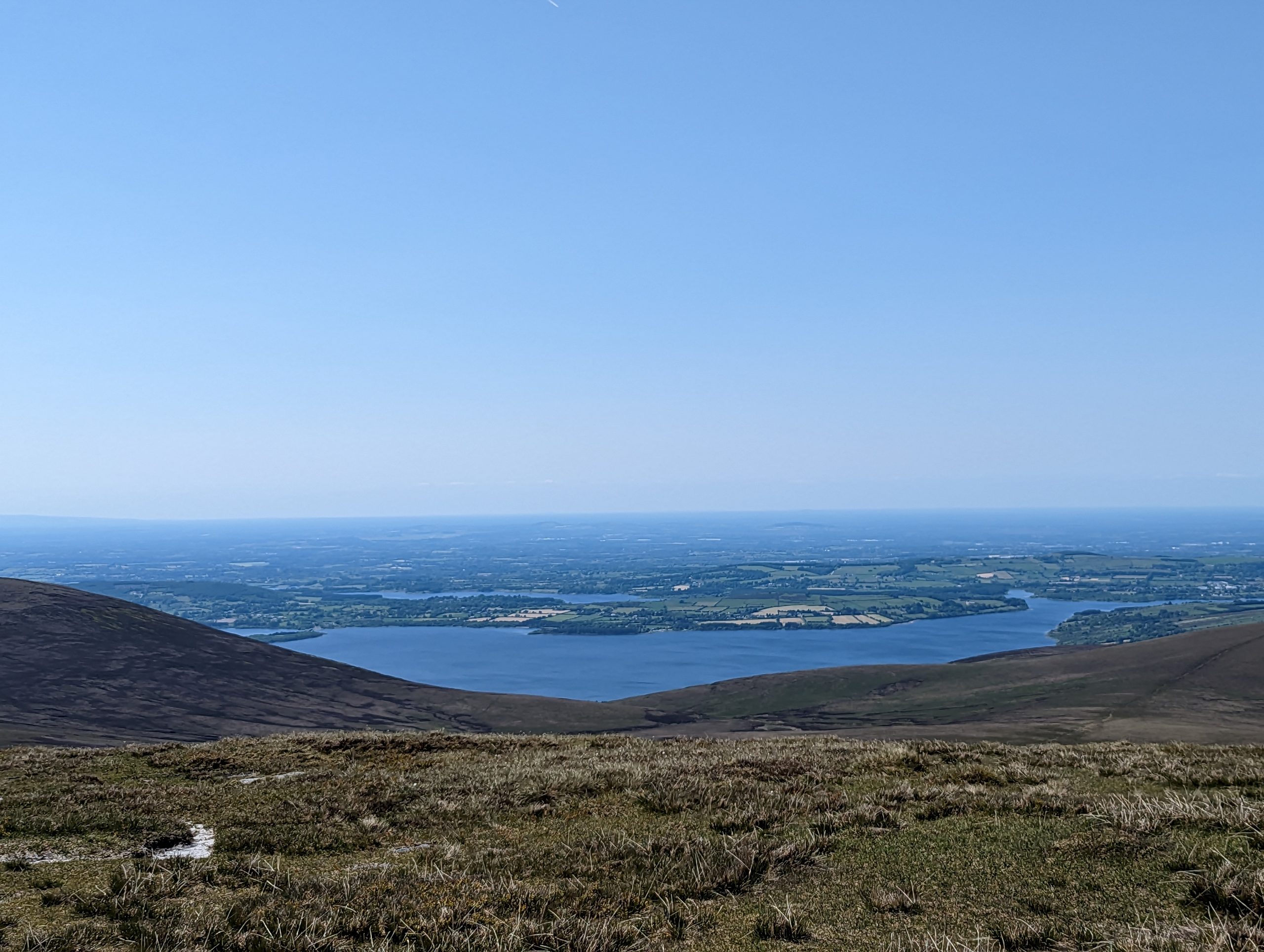
Wonderful views open up from the mountain:

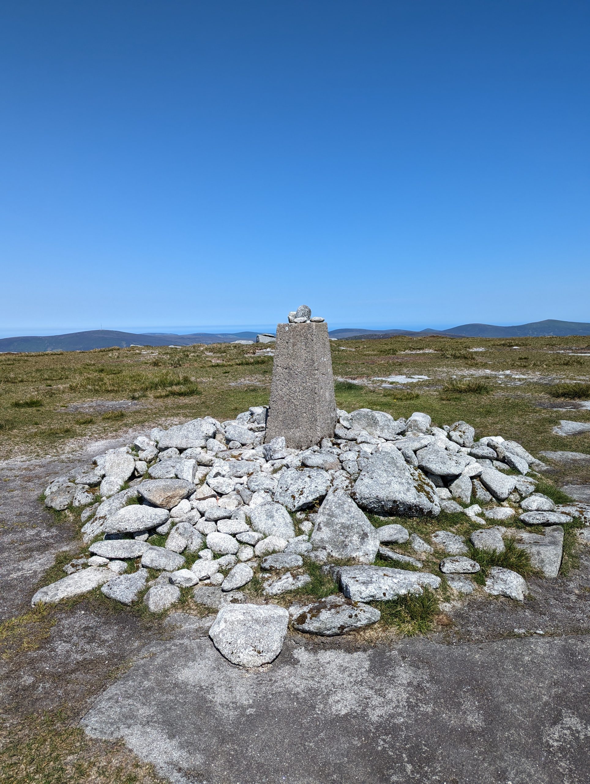
So, the top of the mountain Mullaghcleevaun (849 m)


The descent from the south is along the ascent route.


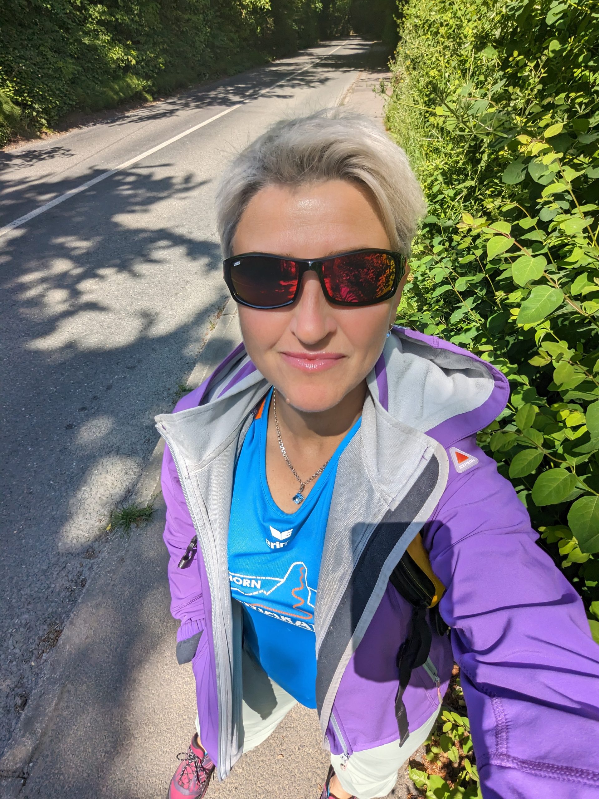
Photo and text: Tatyana Senchenko
Source: travelworld.biz